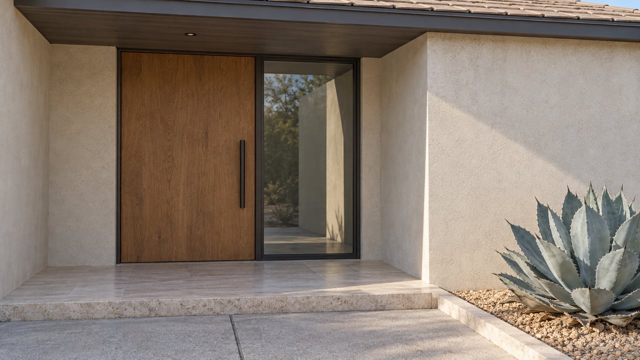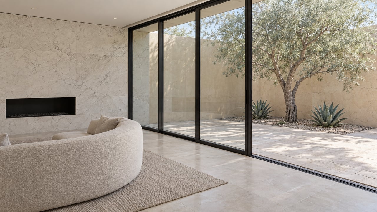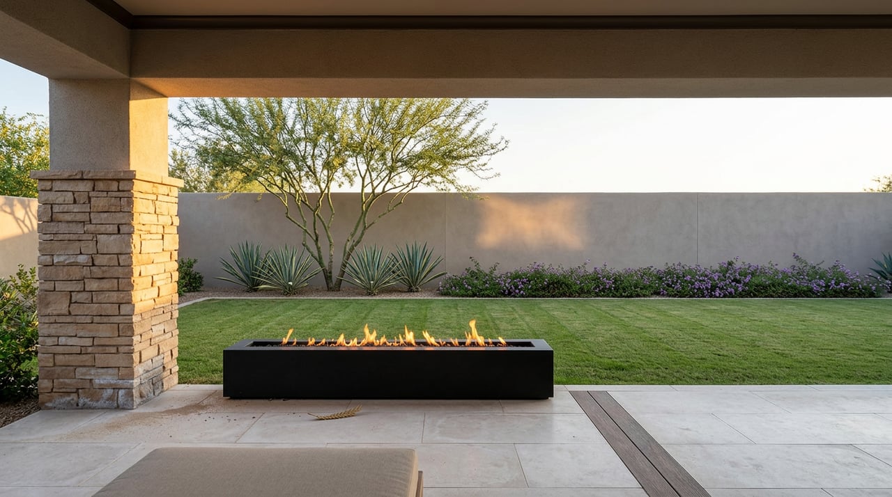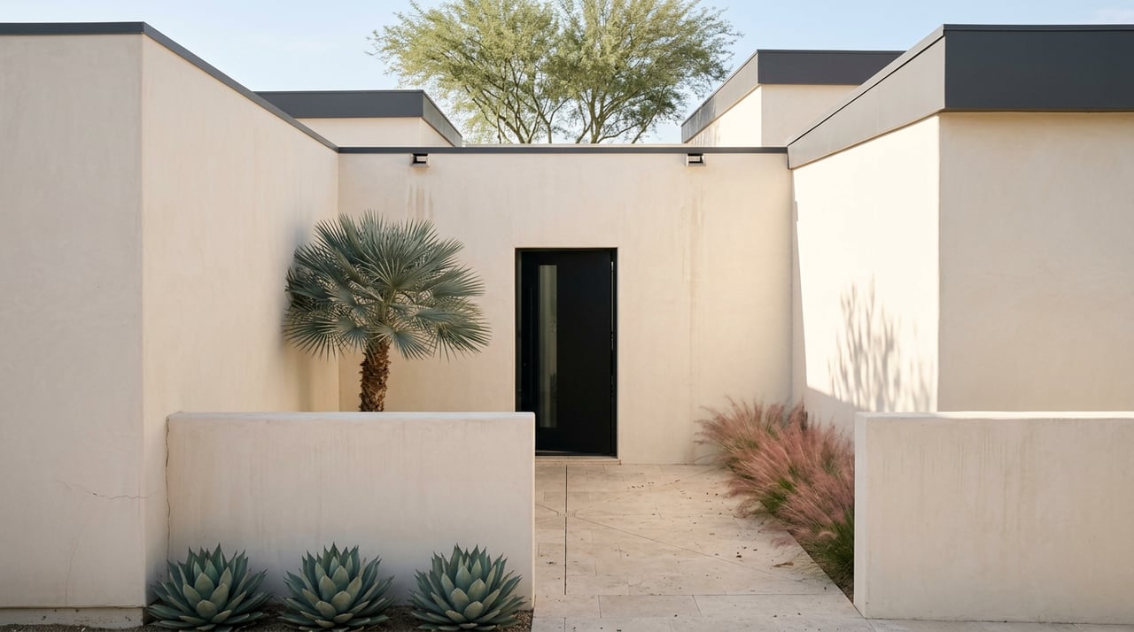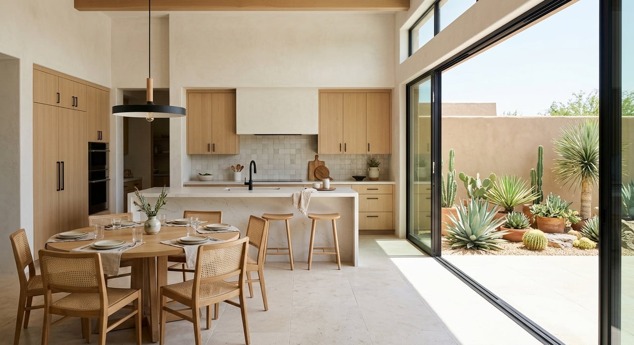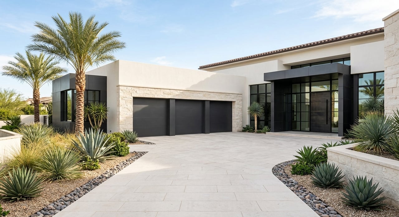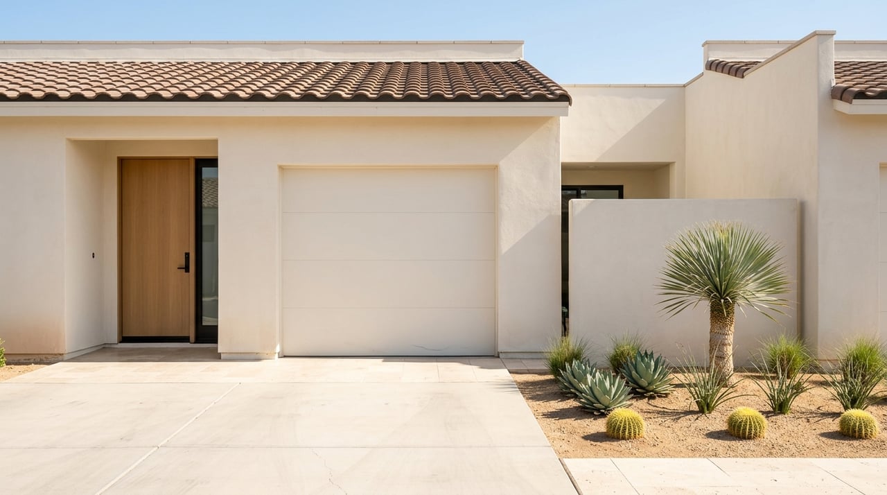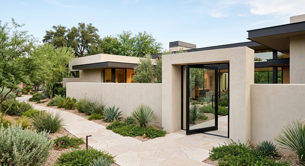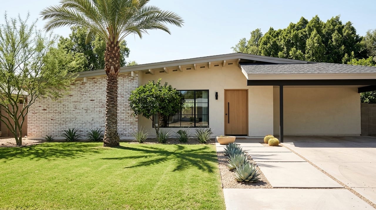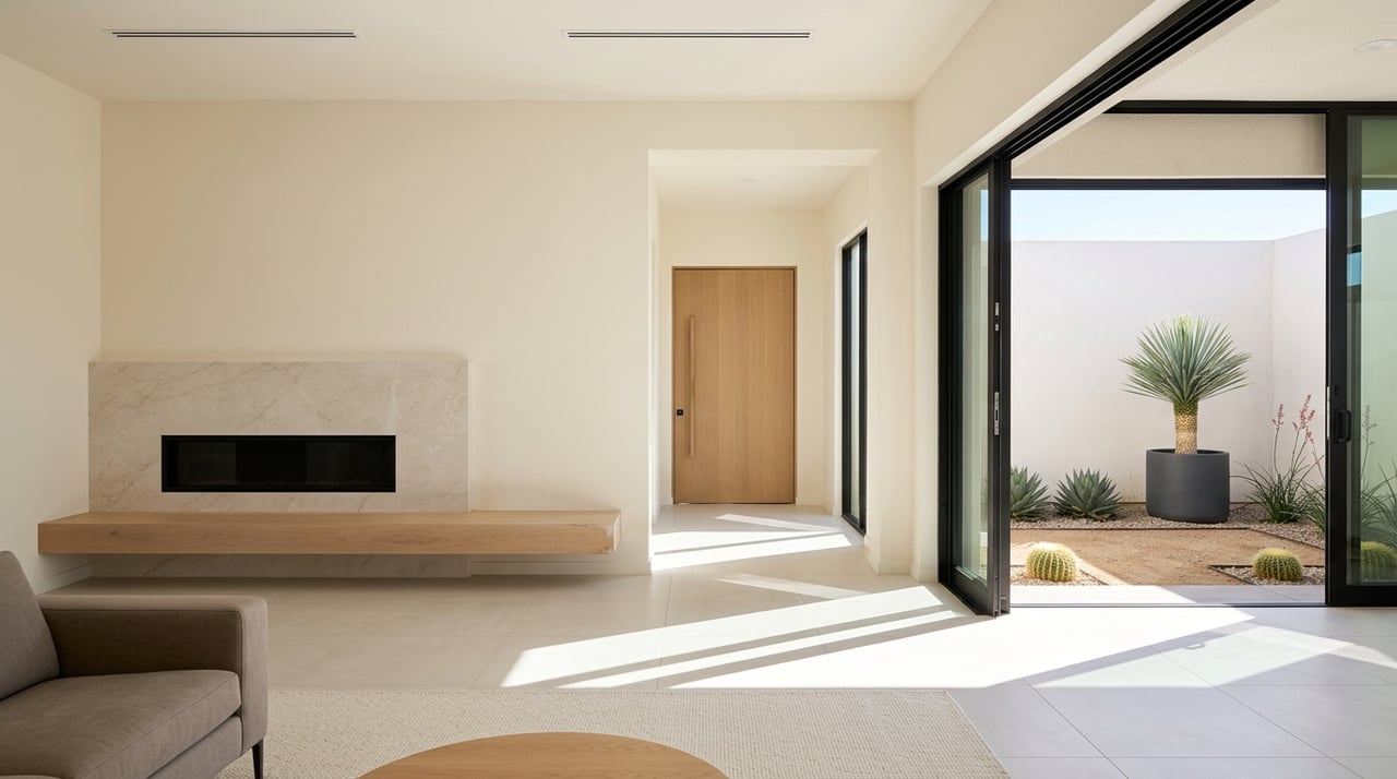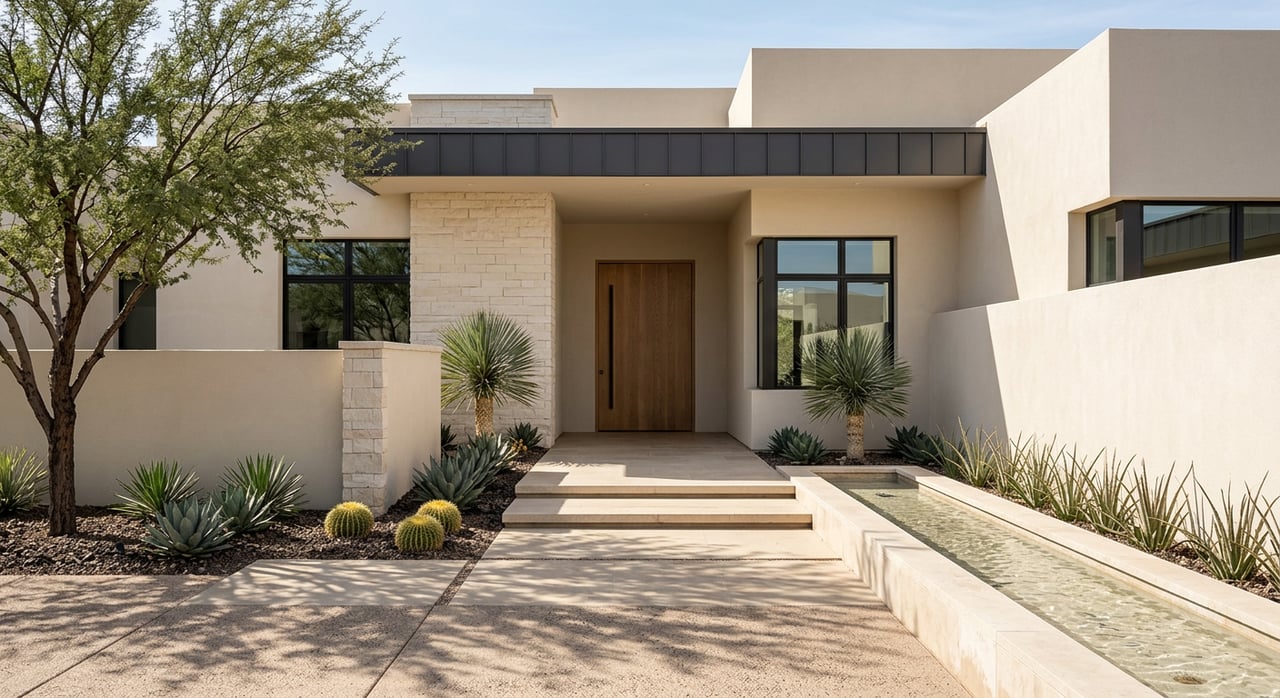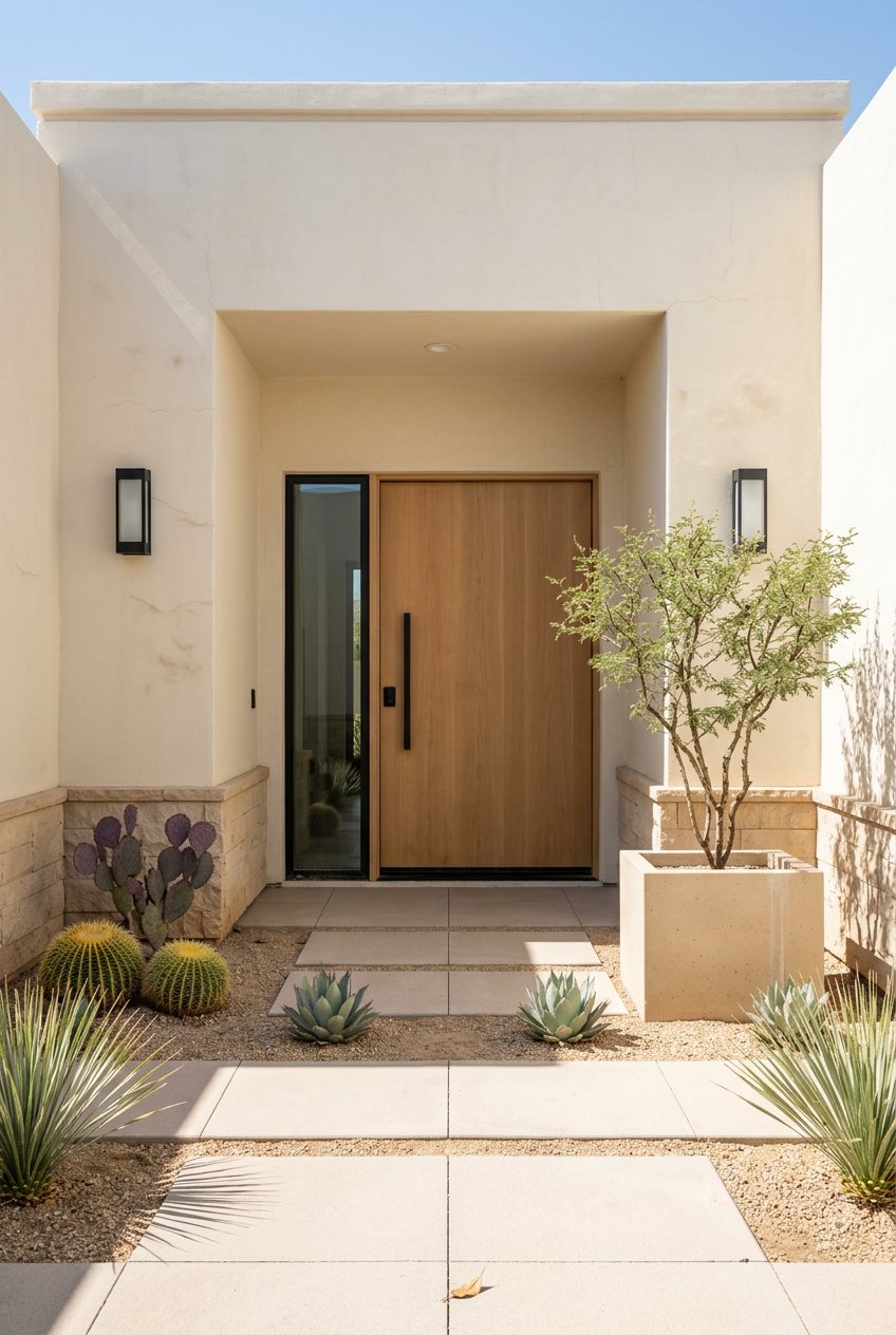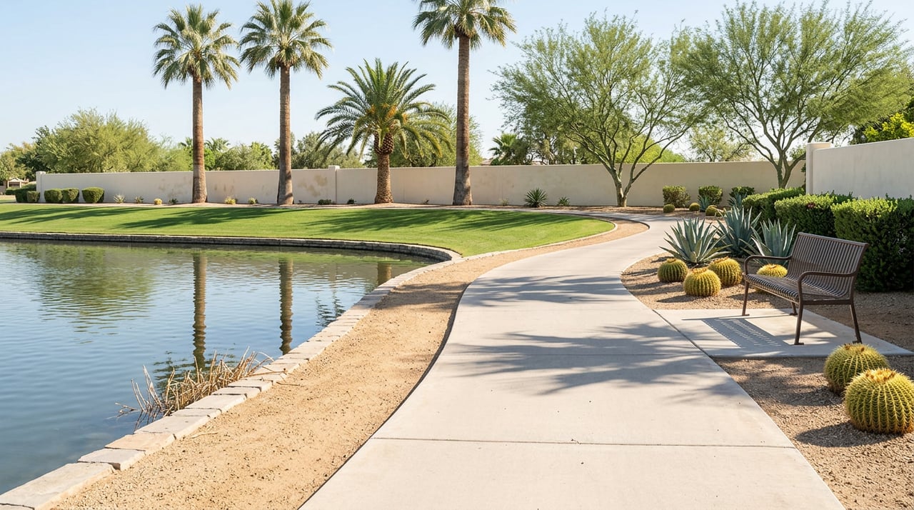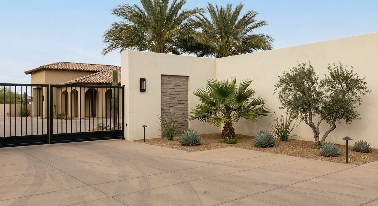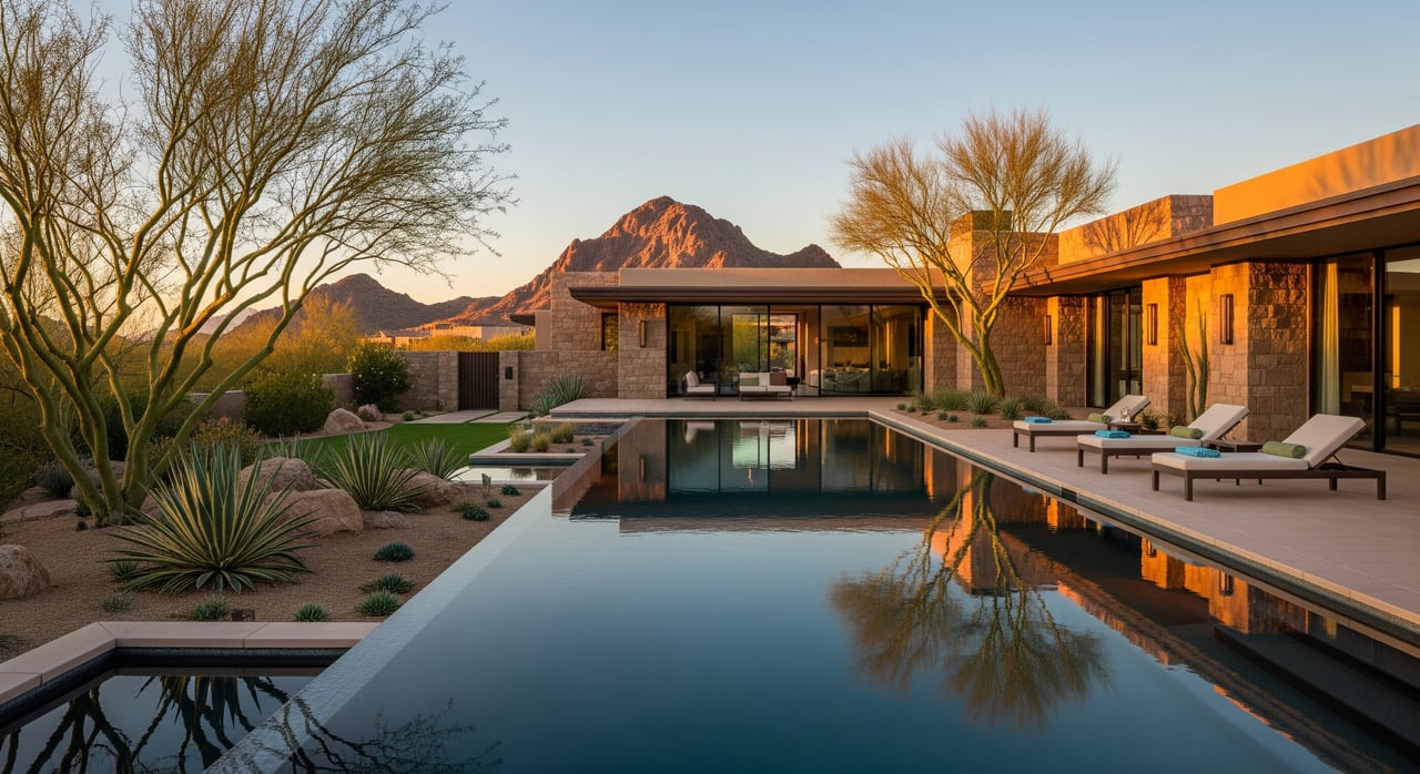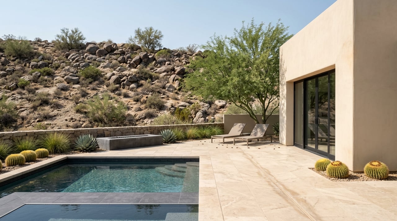
One of Silverleaf's three guard-gated entrances is named Windgate Pass. It sits off Thompson Peak Parkway, and the residents who use it every day are less than a mile from a trail that shares the name and gets described wrong in almost every hiking guide written about it.
The mistake is treating Gateway Trailhead as one hike. It isn't. It's a parking lot that feeds a dozen different experiences, and the version most visitors write about, the busy 4.4-mile Gateway Loop, only accounts for the first stretch of what's actually back there. Once the trail forks about a mile and a half in, almost everyone coming from the trailhead turns right to finish the loop. Almost nobody goes straight. That's the part worth knowing before the weather turns this month.
The First Mile and a Half Is a Group Workout
Start at the Gateway Trailhead lot on Thompson Peak Parkway and the crowd builds fast. The half-mile Saguaro Trail feeds into the Gateway Loop, and that opening stretch functions as the neighborhood's default workout circuit: mountain bikers, trail runners, dog walkers, and, as one longtime hiker's account of the route put it, plenty of chatty neighborhood residents logging laps before work. It's well maintained, mostly flat to gently climbing, and genuinely pleasant. It's also the busiest quarter of the entire preserve on any weekend morning.
At roughly the 1.6-mile mark, the trail splits at a clearly marked junction. The Gateway Loop peels off to the right and heads back toward the parking lot. The Windgate Pass Trail continues straight ahead. That single decision point is where the hike most people describe and the hike most people never take diverge completely.
Past the Junction, the Preserve Empties Out
Keep going straight and the crowd thins within a few hundred yards. The trail climbs more directly now, curving up through the shadow of Drinkwater and McDowell Mountains, with Tom's Thumb visible off to one side before the terrain rotates it out of view. Just under three miles from the trailhead, the path reaches Inspiration Point, a rock outcrop at roughly 2,714 feet with stone benches built into the overlook. It's a legitimate destination in its own right, not just a rest stop, with a clear view back over North Scottsdale.
Plenty of hikers use Inspiration Point as their turnaround, which makes for a six-mile out-and-back. That's a reasonable Saturday morning. It's also not the pass the trail is named for.
For Those Who Keep Going
Windgate Pass itself sits about 3.8 miles from the Gateway Trailhead, a broad saddle wedged between McDowell Peak at 3,995 feet and a rise called The Lookout at 3,858 feet. From the pass, the character of the hike changes again: the climbing is done, the trail opens into wide eastward views toward Fountain Hills and Four Peaks, and hikers willing to keep moving can connect onto the Bell Pass Trail for a longer loop back to the same trailhead, a route that several local hikers put at around 9.5 miles depending on which connector trails they use.
Here's how the three realistic versions of this hike actually compare, measured from the same trailhead:
| Turnaround Point | Round Trip Distance | What You Get |
|---|---|---|
| Gateway Loop only | 4.4 miles | Flat, fast, and the most crowded segment of the preserve |
| Inspiration Point | About 6 miles | Stone-bench overlook, quieter past mile 1.6 |
| Windgate Pass via Bell Pass loop | About 9.5 miles | Saddle views toward Four Peaks, minimal foot traffic |
The distance between the first option and the third isn't really about fitness. It's about whether someone hiking this trailhead this fall knows the fork exists at all.
There's also a shortcut for residents who'd rather skip the crowded first mile entirely. Adero Canyon Trailhead sits about 3.3 miles from Windgate Pass on the opposite side of the preserve, which makes it a workable alternate entry point for anyone who wants pass views without walking through the Gateway Loop's morning rush hour first.
The Number That Actually Decides a Hiking Day
September in Scottsdale isn't hiking season yet, no matter what the calendar suggests. The useful marker isn't a date. It's a number, and it comes straight from the city's own rules for the McDowell Sonoran Preserve: if the temperature hits 90 degrees at any point during the hike, it's too hot for a dog to be out there. Leashes are required at six feet or shorter the entire time, and waste has to be carried out immediately rather than left bagged on the trail.
That 90-degree line is a better planning tool than "it's finally fall," because it's checkable against an actual forecast the night before. Residents who use Gateway regularly tend to watch the extended forecast for the first stretch of mornings where the high stays under that number through late morning, not just at sunrise, since a hike that starts cool and finishes at noon can still cross the threshold before the dog gets back to the car.
The Reward at the Top of the Mountain
For hikers heading out from the Windgate Pass side of the preserve, the natural endpoint for the evening isn't back at the trailhead. It's CIELO, the restaurant at ADERO Scottsdale, perched above the McDowell Mountains on the same range the trail runs through. ADERO is Scottsdale's only certified Dark Sky Community resort, which matters here in a literal way: the outdoor terrace and floor-to-ceiling windows are built around watching the sky go from sunset to actual visible stars without competing light.
The kitchen organizes its menu around three rotating concepts it calls Terra, Sol, and Luna, built on a farm-to-table approach where the chefs work directly with local growers. Friday nights bring solo acoustic sets on the patio from 5:30 to 8:30 p.m., which lines up almost exactly with a sunset finish on the Windgate Pass loop. CIELO has picked up OpenTable's Diners' Choice award in 2024, 2025, and again in 2026, and the restaurant markets itself explicitly as a spot for locals, not just resort guests passing through.
What This Actually Changes About the Fall Routine
None of this requires a longer hike than anyone's already doing. It requires knowing where the fork is. A resident who's hiked Gateway Loop a hundred times and always turned right at the 1.6-mile junction has been walking laps in the busiest quarter-mile of a 30,500-acre preserve while a nearly empty trail sat fifty feet away the entire time.
As the mornings cool into the range where the 90-degree line stops showing up before 10 a.m., that's the month to finally go straight instead of right. Three ways to use the next few weeks:
- First cooler weekend: walk the Gateway Loop as always, but continue past the 1.6-mile junction to Inspiration Point and back, a six-mile round trip with real elevation and real solitude.
- Once mornings hold under 90 well past sunrise: push to Windgate Pass itself at 3.8 miles, or loop back through Bell Pass for the full 9.5-mile circuit.
- Any Friday evening: park at Adero Canyon Trailhead instead, hike toward Windgate Pass from the quieter side, and time the finish for a sunset table at CIELO.
The trail hasn't changed. The gate hasn't changed. What's worth changing is which fork gets the right turn.
Whether you're settling into Silverleaf for years or still getting to know the trails outside your own gate, the DiBiase Team is always glad to talk North Scottsdale, from the hikes to the homes. Get Your Home Estimate whenever the conversation turns that direction.